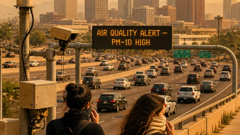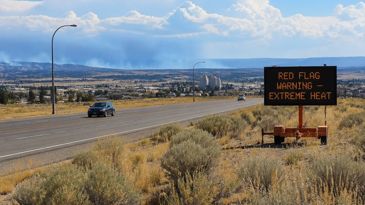
The National Weather Service in Billings issued a Red Flag Warning that takes effect at noon Saturday and runs through midnight MDT Saturday night, and an Extreme Heat Warning remains in force until 9 p.m. MDT Sunday for central, south-central and southeast Montana and parts of north-central Wyoming.
What officials are warning
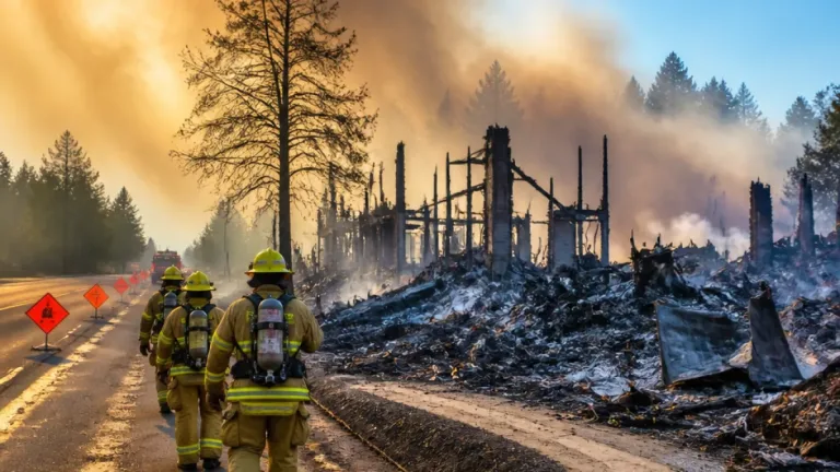
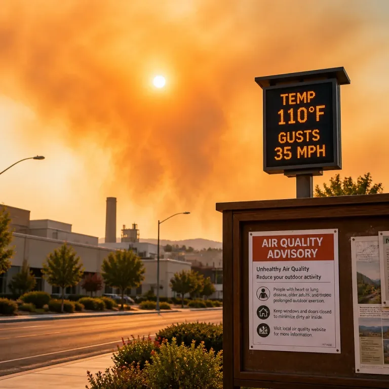
The fire-weather alert replaces a prior Fire Weather Watch and singles out conditions that favor rapid fire growth: low relative humidity, hot temperatures and gusty winds. The NWS bulletin warns those factors, combined with afternoon and evening thunderstorms, could produce erratic fire behavior and new fire starts.
"A Red Flag Warning means that critical fire weather conditions are either occurring now, or will shortly."
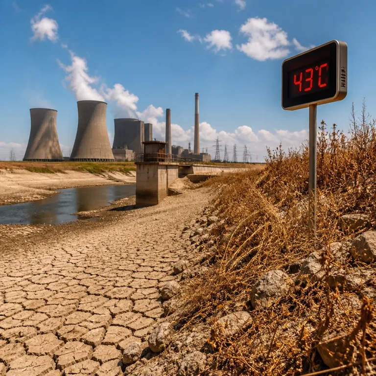
The heat advisory portion of the bulletin stresses that daytime highs will range from the upper 90s to as high as 108 degrees, with Saturday expected to be the hottest day. Warm overnight lows will allow heat stress to accumulate, increasing the danger for people without reliable cooling or hydration.
Where the risk is concentrated
The NWS listed specific Montana fire zones and counties under the Red Flag Warning. Counties named include:
- Central Montana: Golden Valley, Musselshell, Wheatland
- South-central Montana: Big Horn, Carbon, Park, Stillwater, Sweet Grass, Yellowstone
- Southeast Montana: Carter, Custer, Fallon, Powder River, Rosebud, Treasure
- Southwest Montana: Gallatin
North-central Wyoming and northwest South Dakota counties were also mentioned in the advisory.
| Parameter | Forecast / Range |
|---|---|
| Timing (Red Flag) | Noon Saturday–midnight Saturday |
| Timing (Extreme Heat) | Until 9 p.m. MDT Sunday |
| Temperatures | 98–108°F (hottest over eastern Montana) |
| Humidity | As low as 11% |
| Winds | SW 10–15 mph, gusts to 25 mph |
Practical precautions
Fire officials and meteorologists use Red Flag Warnings to tell the public these are not ordinary dry days. With humidity plunging into the low teens and gusty winds expected, a stray spark can spread quickly. Add scattered afternoon thunderstorms that can produce gusty, erratic winds and only spotty rainfall, and the situation becomes unpredictable.
Residents and visitors in affected areas should consider these steps:
- Avoid outdoor burning, including campfires and debris piles.
- Delay operation of equipment that can create sparks—mowers, chainsaws, welding gear—when possible.
- Follow local fire bans and closures; check with county offices for updates.
- Stay hydrated, limit strenuous outdoor work during the heat of the day and seek air conditioning if possible.
The Extreme Heat Warning note emphasizes that heat-related illnesses rise sharply during these events. People who lack cooling, who work outdoors, or who care for infants or elderly relatives should take special precautions. Heat accumulates when overnight temperatures stay high; respite at night can be as important as daytime cooling.
What the weather means for firefighters and communities
On paper, the ingredients are textbook: hot, dry air; gusting winds; and thunderstorms that may kick up brief, violent gusts. In practice, that can mean rapid changes in fire behavior. Crews will be on alert for new ignitions and for existing fires that could intensify overnight.
For ranchers, landowners and anyone with livestock, low humidity and high temperatures raise concerns about animal stress and water supply demands. Municipal water systems may also see increased demand as residents try to cool homes and hydrate.
National Weather Service offices and local fire agencies will monitor conditions closely. NEXO RADAR will update this advisory as agencies release new information or expand the affected areas.
In short: treat this weekend with respect. The Montana sky may look familiar, but the mix of heat, dryness and a few storms is an unforgiving recipe. Keep the matches in the drawer and a gallon of water handy.