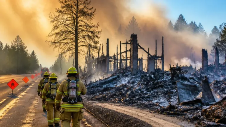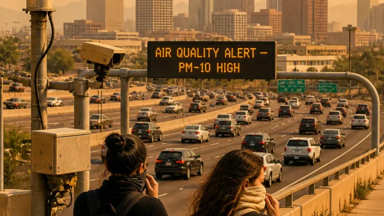
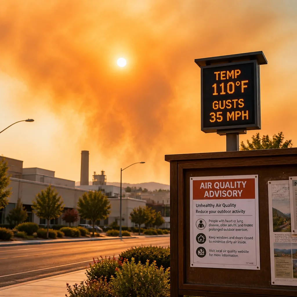
Hazy skies from wildfire smoke moving in from the Pacific Northwest prompted a regional air-quality alert in northeastern Wyoming on Wednesday, with health officials urging vulnerable residents to reduce outdoor activity as temperatures climb toward a heat wave later in the week.
Air-quality advisory and public-health guidance
The Wyoming Department of Environmental Quality and the Wyoming Department of Health issued an advisory covering parts of Campbell County through 11 a.m. local time Wednesday. Officials recommended that older adults, young children and people with respiratory illnesses limit strenuous outdoor exercise and spend less time outside while smoky conditions persist.
Meteorologists at the National Weather Service office in Rapid City forecast mostly sunny conditions Wednesday with a high near 83 degrees. Light southeast breezes were expected to shift to the northwest in the afternoon, with gusts near 21 mph at times — a wind pattern that could transport smoke into the region and influence local air quality.
Heat building later this week, raising fire concerns
By Thursday, the atmosphere is expected to warm sharply as a ridge of high pressure strengthens over the area. Forecasters projected highs around 91 degrees on Thursday, rising to about 95 degrees by Friday and Saturday. Relative humidity is forecast to fall into the single digits to low twenties across parts of western Wyoming, increasing the potential for fire spread.
National Weather Service guidance and local health agencies noted that the combination of low humidity, stronger afternoon winds and abundant dry fuels will create elevated fire-weather conditions through the weekend for much of the region.
Short-term forecast highlights
- Wednesday: Hazy to smoky skies with a high near 83°F. Northwest gusts up to 21 mph.
- Thursday: Sunny and hotter, high near 91°F; gusts as strong as 23 mph.
- Friday–Saturday: Peak warmth near 95°F; drier air and elevated fire-weather risk.
Temperatures are expected to slide slightly overnight into the upper 50s, offering limited relief before daytime heating returns. The persistence of smoke through at least Wednesday night was included in the short-term outlook.
| Day | Forecast | Notable values |
|---|---|---|
| Wednesday | Smoky, mostly sunny | High ~ 83°F, gusts ~ 21 mph |
| Thursday | Sunny, warmer | High ~ 91°F, gusts ~ 23 mph |
| Friday–Saturday | Hot, dry | Highs ~ 95°F, low RH |
Context and consequences
Smoke transport from distant wildfires is increasingly common in the western United States during active fire seasons, sending fine particulate matter hundreds of miles downwind and degrading air quality in communities far from the flames. For northeastern Wyoming, intermittent smoke can reduce visibility and aggravate respiratory and cardiovascular conditions, particularly among sensitive groups.
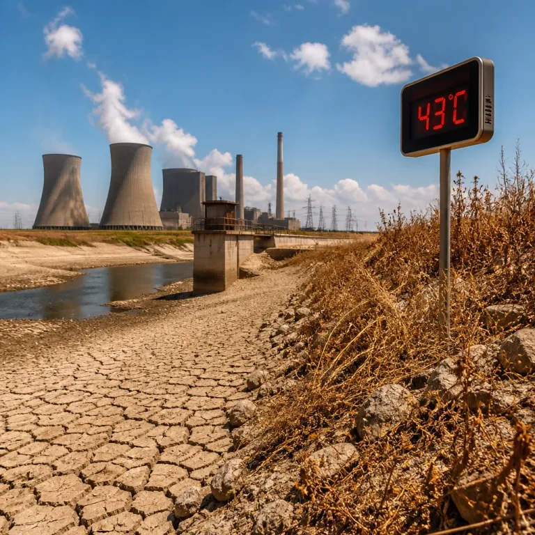
Meanwhile, the onset of a brief but intense warm spell underscores another climate-related challenge: heat waves are occurring more frequently and with greater intensity across parts of the West. When heat coincides with low humidity and gusty winds, wildfire behavior and the risk of new ignitions can intensify, straining firefighting resources and prompting public-safety measures.
Residents are advised to monitor local air-quality updates and follow public-health guidance. Those living or working outdoors should consider rescheduling heavy exertion during the worst smoke periods and take actions to reduce fire risk, such as avoiding outdoor burning and being cautious with equipment that can create sparks.
Local forecast offices will continue to track smoke trends and the evolution of the heat ridge through the weekend, issuing warnings or advisories as conditions dictate.
NEXO RADAR Weather