SOUTH BURLINGTON — Storms that moved through the region this week dropped sharply different amounts of rain across Vermont and neighboring New York counties, according to National Weather Service reports compiled Wednesday afternoon. The totals show localized heavy downpours in parts of southwestern Vermont and much lighter amounts in the Northeast Kingdom and high-elevation spots.
Where the rain was heaviest
The largest single reported total in Vermont so far was in Bennington, where observers recorded 4.37 inches. Nearby towns in Bennington County also measured multiple inches: Shaftsbury had 3.42 inches, and Arlington saw 3.00 inches. Several other towns in southern and central Vermont reported between 1 and 3 inches.
Contrast that with many northern and highland locations: parts of Caledonia County logged only a few tenths of an inch, with Lyndonville at 0.12 and St. Johnsbury at 0.11. Some mountain stations reported even less.
Selected totals by county (highs and examples)
| County | Notable station | Reported rainfall |
|---|---|---|
| Bennington | Bennington | 4.37" |
| Chittenden | Westford | 2.72" |
| Addison | Starksboro | 1.83" |
| Caledonia | Barnet | 0.52" |
Neighborhoods and airports
Some readings from population centers and airports can help residents get a sense of what fell near them. In Chittenden County, South Burlington measured 2.05 inches, while Burlington proper recorded about 1.04 inches. The Burlington International Airport site showed 1.72 inches. In Clinton County, the report from Plattsburgh International Airport logged 0.64 inches.
Why totals vary so much
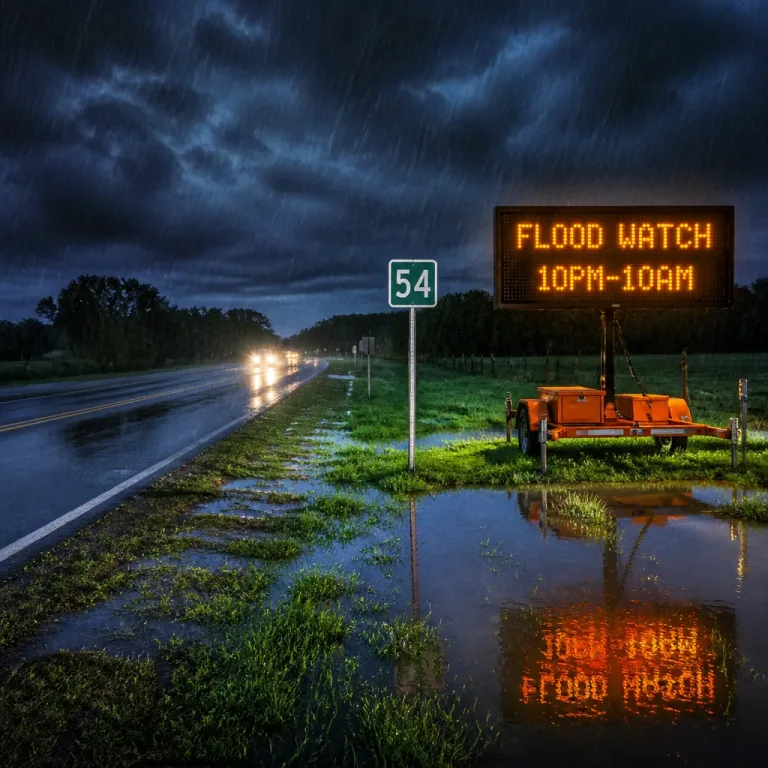
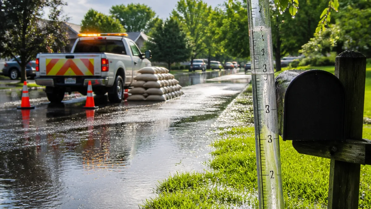
These storms appear to have produced strong, localized bands of heavy rain rather than a uniform, statewide event. That pattern is common when storms train or when individual thunderstorm cells stall over a small area. Low-lying towns and river valleys that saw the highest totals should watch for localized flooding or standing water on roads, while higher-elevation and northeastern locales largely missed the heaviest cells.
- Highest reported total: Bennington — 4.37 inches
- Notable southern totals: Shaftsbury 3.42", Arlington 3.00"
- Examples of light totals: Lyndonville 0.12", St. Johnsbury 0.11"
Practical implications for residents
Road crews and municipal officials in areas that received the heaviest rain may be monitoring culverts, low bridges and known flood-prone stretches. If you experienced flooding or significant runoff, contact your town highway department so they can log complaints and respond as needed. Farmers and gardeners in wet pockets should check fields for ponding and consider drainage or short-term adjustments for livestock access.
Travelers: watch for localized road closures or temporary debris on rural roads. Even when regional forecasts clear up, localized wet roads and potholes can create hazardous driving conditions for several days after heavy downpours.
Regional snapshot — selected town readings
The National Weather Service listing includes many more local readings; here are a few representative numbers taken from the Wednesday afternoon compilation:
- Addison County — Starksboro: 1.83"; Middlebury: 1.19"
- Chittenden County — Westford: 2.72"; Essex Junction: 1.88"
- Franklin County — Georgia: 2.20"
- Essex County, NY — North Hudson: 1.54"; Port Henry: 1.45"
These figures are the totals reported to the National Weather Service as of Wednesday afternoon; more observations may be added as local observers and automated sites continue to submit data. For those tracking totals at the town or farm level, your best reference remains the NWS station list and local municipal posts.
If you map your own storm impacts, consider keeping a simple log of when and where heavy bursts occurred; that information helps towns prioritize repairs and can be useful for any insurance claims tied to storm damage.
— NEXO RADAR staff