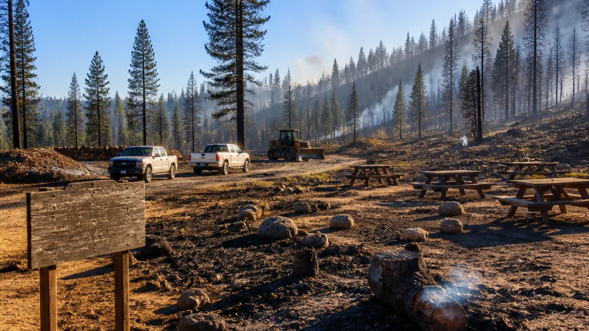
SAN BERNARDINO, Calif. — Fire crews have gained significant ground on a wildfire that began July 27 at the Thurman Flats Picnic Area in Mountain Home Village in San Bernardino County. As of the Saturday morning update, the blaze — named the Green Fire — had consumed roughly 55 acres and was reported to be 65% contained, according to incident command.
Where the fire started and current footprint
The Green Fire was first reported at 5:42 p.m. on July 27 near the Thurman Flats Picnic Area. Unified Command for the incident is led by Cal Fire and the U.S. Forest Service for the San Bernardino National Forest. By the most recent morning briefing, crews had limited the fire's uncontrolled edge to about 35 percent of the perimeter.
What 65% containment means for the public
Containment percentage describes how much of a fire's perimeter has been enclosed by control lines — constructed, inspected or reinforced by firefighters — that are expected to stop the fire's spread. In plain terms, 65% containment indicates that roughly two-thirds of the fire's edge is surrounded by such lines, while about one-third remains uncontrolled.
"Containment indicates what percentage of the fire perimeter has been surrounded by a control line," the incident update said.
That percentage is a progress measure for incident managers and does not mean the fire is extinguished or that the area is free of danger. Weather, terrain and unseen hot spots can allow fire to cross control lines even after containment is reported. The incident command continues to monitor the fire and update containment figures as crews map and verify lines on the ground.
How containment is measured and reported
Incident command maintains ongoing reports from firefighters operating on the line. Those field reports feed into mapping work that adjusts the containment percentage as control lines are built and inspected. The percentage reflects the portion of the perimeter incident managers believe will not extend beyond existing lines.
- Discovery: 5:42 p.m., July 27
- Location: Thurman Flats Picnic Area, Mountain Home Village, San Bernardino County
- Size: ~55 acres (as of the morning update)
- Containment: 65% (as of Saturday morning update)
- Command: Cal Fire and U.S. Forest Service (San Bernardino National Forest), Unified Command
- Cause: Under investigation; no information available yet
Local consequences and what residents should watch for
The Green Fire sits inside the San Bernardino National Forest footprint and near recreational areas popular with local residents. At roughly 55 acres, the current footprint is modest compared with larger Southern California wildfires in recent years, but containment is incomplete and the risk to hikers, campers and nearby communities remains until lines are fully secured.
Residents should pay attention to official briefings from Cal Fire and the U.S. Forest Service for evacuation orders, road closures and air quality advisories. Even without evacuation notices, smoke from evolving wildfires can affect respiratory health and visibility; people with lung disease, older adults and children should consider limiting outdoor activity when smoke is present.
| Detail | Report |
|---|---|
| Start time | 5:42 p.m., July 27 |
| Location | Thurman Flats Picnic Area, Mountain Home Village |
| Estimated size | ~55 acres |
| Containment | 65% |
| Command | Cal Fire / U.S. Forest Service (Unified Command) |
| Cause | Under investigation |
Because containment figures can change rapidly with shifting conditions, the incident's central command will continue to update containment as crews forward progress reports and as mappers verify the integrity of control lines. For the latest information, residents should consult official Cal Fire and U.S. Forest Service channels.
The story will be updated as more details, including cause and final acreage, become available.