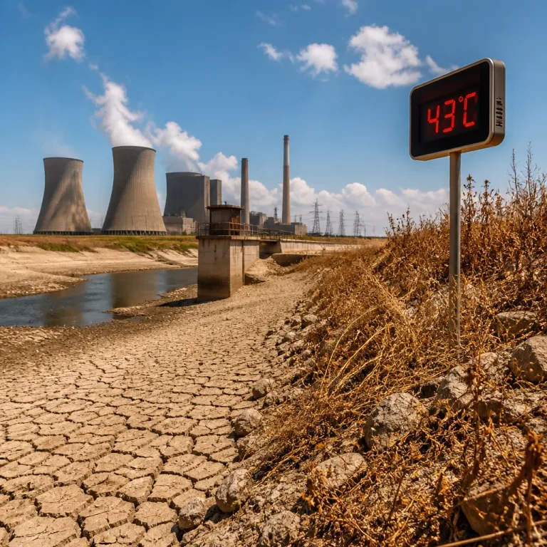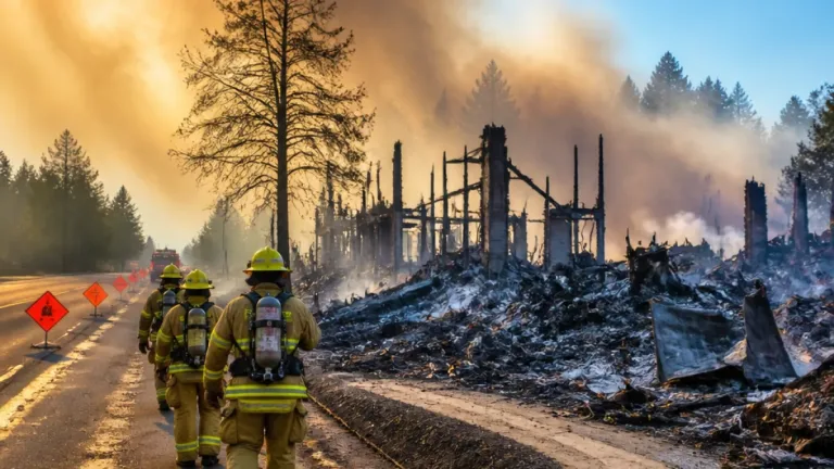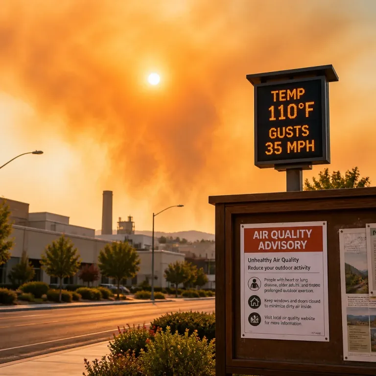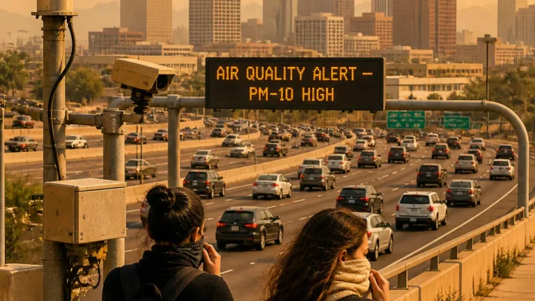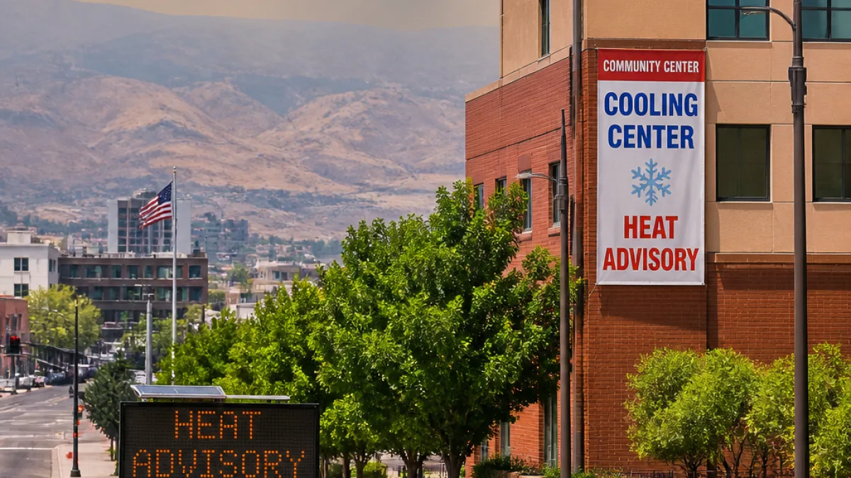
The National Weather Service in Reno has issued a multi-stage alert as the Washoe County area moves into a prolonged heat wave that will span much of this week and into the weekend. After a brief respite below triple digits early in the week, forecasters expect sustained hot conditions, overnight warmth and pockets of poor air quality driven by wildfire smoke.
What officials are warning
Local forecasters put a heat advisory in place beginning Wednesday morning for the greater Reno-Carson City-Minden region, followed by an extreme heat watch that starts Thursday and runs into Sunday morning. Temperatures are expected to hit the upper 90s to low 100s in the valleys, with overnight lows holding in the 60s.
“The heat can affect people who are sensitive to high temperatures, especially those without adequate cooling or hydration,”
Forecasters also note areas in lower valleys will experience greater risk, where the heat could affect anyone without proper cooling or hydration.
Daily outlook and hazards
Expect consistent, sunny afternoons and mild evenings through the weekend. Lake Tahoe should remain markedly cooler than the Reno-Sparks valley, with daytime highs in the low 90s at the lake and considerably cooler at higher elevations.
- Highs: Predicted in the range of about 98 to 103 degrees in the valley.
- Lows: Nighttime readings generally between the low 60s and upper 60s.
- Air quality: Periodic smoke and haze from regional wildfires may reduce air quality through at least Tuesday, with the potential to linger depending on wind shifts.
- Fire danger: Afternoon breezes with gusts up to about 15–20 mph could briefly elevate fire weather concerns.
- Rain chances: Minimal — the first possibility of monsoonal moisture may arrive this weekend, but models keep rain chances under 10%.
Forecast snapshot
| Day | Forecast | High / Low (°F) |
|---|---|---|
| Monday | Sunny, patchy smoke after mid-morning | 96 / 64 |
| Tuesday | Sunny and hot, patchy smoke possible | 100 / 66 |
| Wednesday | Sunny and hot — heat advisory active | 102 / 66 |
| Thursday | Sunny and hot — extreme heat watch begins | 102 / 66 |
| Friday | Sunny and very hot | 103 / 67 |
| Saturday | Sunny and hot | 102 / 66 |
| Sunday | Sunny; cooler from the peak | 99 / -- |
Who is most at risk and how to prepare
People most vulnerable to heat include older adults, infants and young children, individuals with chronic medical conditions, outdoor workers and anyone without reliable access to cooling. Overnight temperatures staying in the 60s can reduce the relief that many residents depend on after hot afternoons.
Public health and emergency officials urge practical steps to limit heat-related illness:
- Use air conditioning when possible; seek out cooling centers if you lack home cooling.
- Stay hydrated — carry water and avoid excessive alcohol or caffeine during peak heat.
- Limit strenuous outdoor activities during midday and early afternoon when temperatures peak.
- Watch for signs of heat exhaustion and heat stroke: heavy sweating, weakness, confusion, fainting or high body temperature.
- Check on neighbors, especially older adults and people with mobility challenges.
Those with outdoor jobs should follow workplace guidelines for heat exposure and take frequent breaks in shaded or cooled spaces. Local agencies often post information on cooling locations and heat resources — check municipal websites or local social-service providers for real-time guidance.
Local context and longer outlook
Reno’s location on the edge of the Great Basin means valley heat can climb quickly when high-pressure patterns set in. While Tahoe will remain cooler, the smoke that drifts from wildfires across the Intermountain West may blunt some of the typical afternoon breezes and reduce air quality periodically.
If the forecast holds, the coming stretch will be one of the warmer spells of the summer for the region, with little relief until the late-week drop predicted for Sunday. Residents should treat the advisory and watch as prompts to check plans, protect vulnerable people and pets, and prepare cooling supplies.
For updates, follow the National Weather Service Reno office and county emergency pages for any changes to advisories, air-quality alerts or newly opened cooling centers.