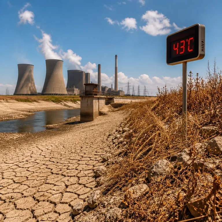
Temperatures will climb sharply across Northeast Florida and Southeast Georgia as the new workweek begins, with inland communities likely to face the most oppressive conditions. Forecast guidance indicates daytime highs reaching the mid-90s Monday and pushing higher on Tuesday, and some interior locations could hit 100 degrees.
Heat index making conditions hazardous
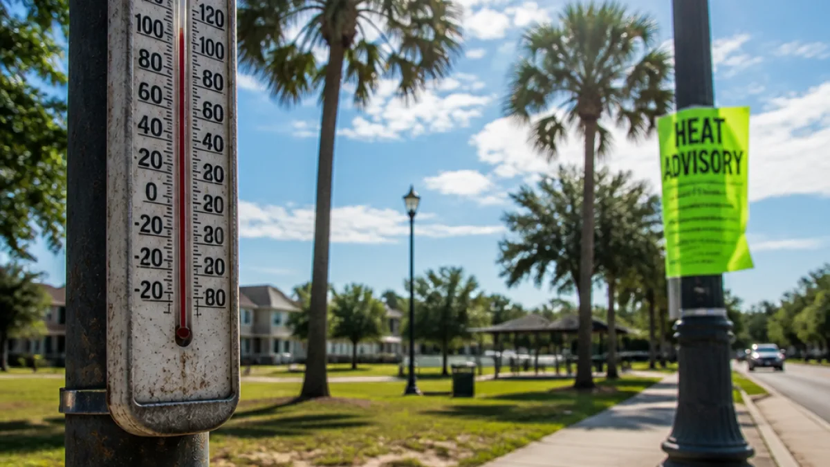
Forecasters warn the air temperature understates the risk: when humidity is factored in, it will feel like 108 to 115 degrees during afternoon hours in much of the inland zone. That combination of heat and moisture is what typically prompts heat products from the National Weather Service; Heat Advisories are considered highly likely for both Monday and Tuesday.
Timing, winds and storm chances
The pattern this week will include light winds and a developing sea-breeze influence along the coast. Monday morning should see gentle west-northwest winds giving way to north and northeast breezes in the afternoon as a sea breeze develops. By Tuesday, winds are expected to be light from the southwest ahead of an approaching weather system moving through southeast Georgia.
Any showers or thunderstorms that form will generally be brief and primarily confined to the afternoon and early evening. Expect such activity to diminish soon after sunset on both days, so evening relief from the heat will be limited.
Who is most at risk
Vulnerable groups are at greatest risk during these episodes. That includes older adults, infants and young children, people with chronic medical conditions, and those who work or exercise outdoors. Even healthy individuals can suffer heat-related illness if exposed for extended periods or if hydration and rest are inadequate.
- High-risk hours: afternoon heat peaks, generally mid-to-late afternoon.
- Potential temperatures: mid-90s Monday; some inland spots near 100°F Tuesday.
- Heat index: broadly 108–115°F in inland areas.
- Storms: brief afternoon/evening showers likely to fade after sunset.
| Day | Expected High | Feels Like (Heat Index) |
|---|---|---|
| Monday | Mid-90s | 108–115°F (inland) |
| Tuesday | Mid-90s to near 100 (inland) | 108–115°F (inland) |
Practical steps for residents
Local health and emergency officials typically recommend these commonsense precautions during heat events:
- Limit prolonged outdoor exertion during the hottest part of the day.
- Stay hydrated – carry water and take frequent breaks in shaded or air-conditioned areas.
- Check on neighbors who are elderly or have health conditions, and never leave children or pets unattended in vehicles.
- Plan outdoor work for early morning or later in the evening when temperatures are lower.
- Know the signs of heat exhaustion and heat stroke and seek immediate medical help if symptoms worsen.
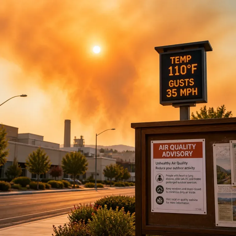
Cooling centers and public shelters may open depending on how forecasts evolve and local needs. Residents should monitor announcements from county emergency management offices and the National Weather Service for official Heat Advisories and any recommended actions.
What to watch next
Small changes in wind direction or cloud cover could temper peak temperatures slightly, while any increased moisture or slow-moving storms would change heat-index calculations. For now, the forecast guidance supports a short but intense heat episode early in the week.
Local officials and utility providers will be tracking demand as temperatures rise. If you plan to be outdoors, prioritize safety and consider modifying schedules to avoid the most dangerous hours.
Stay tuned to local media and NWS updates for any formal advisory issuances and the latest timing of heat impacts.