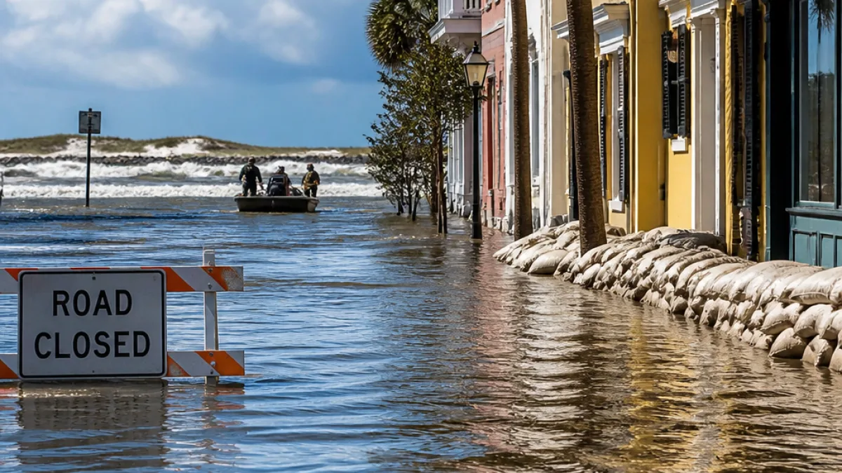
CHARLESTON — The National Weather Service issued a series of urgent advisories Sunday for the Charleston metro area, including a flash flood warning for coastal portions of Charleston County and a broader flood watch for much of the region into the evening.
Where and when the warnings apply
As of early afternoon, the flash flood warning covered parts of the coast that include Mount Pleasant, Sullivan's Island and the Isle of Palms. That warning was active until 4:15 p.m., according to the National Weather Service bulletin released around 1:30 p.m. A separate marine warning affecting waters off Charleston County was in effect until 2:30 p.m.
- Flash flood warning: Coastal portion of Charleston County (Mount Pleasant, Sullivan's Island, Isle of Palms) — in effect until 4:15 p.m. (as of 1:30 p.m.)
- Special marine warning: Offshore waters of Charleston County — in effect until 2:30 p.m.
- Flood watch: Charleston, Berkeley, Dorchester and Colleton counties — remains in effect until 10 p.m.
On-the-ground conditions and response
Local law enforcement and emergency managers reported that conditions were steadily improving in some areas, particularly across Mount Pleasant and the barrier islands. Officials said many of the roadways that had been inundated earlier were reopening, though the situation remained fluid and residents were urged to remain cautious for the rest of the day.
"Conditions continue to steadily improve across Mount Pleasant, Isle of Palms and surrounding areas," the National Weather Service said in a statement issued with its advisories.
The layered alerts reflect how quickly coastal flooding can vary from neighborhood to neighborhood in the Lowcountry. A flash flood warning indicates life-threatening conditions are possible and can develop rapidly; a flood watch signals that conditions are favorable for flooding to occur and that residents should stay alert through the evening.
Practical guidance for Charleston residents
Residents and visitors along the Charleston coastline should follow these precautions until advisories are lifted:
- Do not attempt to drive through flooded roadways — water depth and current strength are deceptive.
- Monitor local broadcasters, emergency management channels and the National Weather Service for updates on advisories and road closures.
- Boaters and mariners should avoid the affected offshore area while the marine warning remains in effect.
| Advisory | Area | Expires |
|---|---|---|
| Flash Flood Warning | Mount Pleasant, Sullivan's Island, Isle of Palms | 4:15 p.m. (as of 1:30 p.m.) |
| Special Marine Warning | Offshore Charleston County | 2:30 p.m. |
| Flood Watch | Charleston, Berkeley, Dorchester, Colleton counties | 10 p.m. |
The pattern of advisories Sunday mirrors a familiar Lowcountry tension: sudden, localized flooding that can overwhelm streets and strand drivers even when neighboring blocks are dry. Charleston’s long history with tidal flooding and storm-driven rain means the community has an uneven margin for error — older drainage systems and low-lying corridors are prone to rapid inundation.
Emergency officials emphasized that while some neighborhoods were seeing improvement and roadway reopenings, the flood watch into the evening means the threat is not fully over. Residents should maintain situational awareness and follow instructions from local emergency management and law enforcement until all advisories are canceled.
We will continue to monitor updates from the National Weather Service and local authorities and will report as warnings are extended, modified or allowed to expire.