HONOLULU — Hurricane Fausto continued a westward course across the central North Pacific on Friday, positioned roughly 1,385 miles east of Hilo and carrying maximum sustained winds of 105 miles per hour. The National Hurricane Center’s latest data showed the storm advancing at about 14 mph and gradually losing strength as it moves into less favorable conditions.
Where Fausto is headed and what could change
Forecasters project Fausto will pass just to the north of the Hawaiian island chain sometime between Tuesday and Wednesday. The system is expected to weaken over the next several days, likely downgrading to a tropical storm and possibly to a remnant low as it encounters drier air, cooler sea surface temperatures and increasing upper-level wind shear from the southwest.
Even as the core of the storm shifts northward and becomes less symmetrical, meteorologists warn that small deviations in the track or intensity would materially affect impacts on any particular island. The strongest winds and heaviest precipitation are forecast to concentrate in Fausto’s northern semicircle; if that pattern holds, much of the direct storm force should remain north of the main Hawaiian Islands.
Coastal hazards and inland impacts
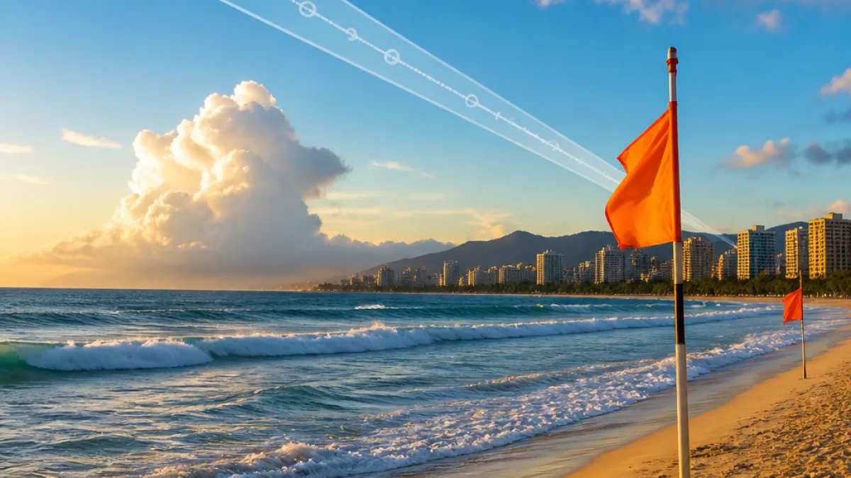
Despite the anticipated weakening, the circulation around Fausto is already generating large ocean swells that will propagate westward. These waves could arrive at east-facing shores by late Sunday and produce hazardous surf conditions, strong rip currents and coastal erosion.
- Distance from Hilo: 1,385 miles east
- Forward motion: west at 14 mph
- Maximum sustained winds: 105 mph
- Hurricane-force winds radius: up to 45 miles
- Tropical-storm-force winds radius: up to 205 miles
Across the islands, spillover rainbands and gusty winds could produce localized flooding and downed trees in vulnerable areas even if the storm center remains offshore. Emergency managers emphasize that the difference between a storm passing a few dozen miles north versus a few dozen miles closer can be significant for communities that sit on the windward side of the islands.
| Parameter | Value |
|---|---|
| Position (as of 5 p.m. Friday) | ~1,385 miles east of Hilo |
| Movement | West at 14 mph |
| Max sustained winds | 105 mph |
| Hurricane-force radius | Up to 45 miles |
| Tropical-storm-force radius | Up to 205 miles |
Preparation guidance for residents and visitors
Officials encourage residents and visitors to use this window to review emergency plans and supplies. Even if Fausto weakens as forecast, the combination of surge, surf and heavy rain can create life-threatening conditions along the coast and in low-lying areas.
Key preparedness steps include keeping a supply kit with bottled water, nonperishable food, flashlights, batteries and medications; confirming evacuation routes for flood-prone neighborhoods; and securing loose outdoor items that could become projectiles in strong winds. Beachgoers should heed warnings from lifeguards and remain off exposed shorelines during high-surf episodes.
“Small changes in the forecast track and intensity can result in big differences in what areas will be impacted,” forecasters noted, underscoring the need for continued vigilance as the situation evolves.
What to watch this weekend
By Monday, increasing southwesterly wind shear is expected to accelerate Fausto’s weakening, but the storm’s asymmetry means hazardous conditions could remain concentrated north of the center. Residents should monitor official updates from the National Hurricane Center and local emergency management agencies, and pay attention to marine advisories that could be issued for exposed coastlines.
Hawaii remains in the midst of a long hurricane season that runs through Nov. 30. The current outlook suggests increased tropical activity across the Pacific this year, making early preparations a prudent step for households across the islands.
For the most current forecast and advisories, consult the National Hurricane Center and local weather offices. NEXO RADAR will provide ongoing coverage as Fausto approaches the central Pacific.