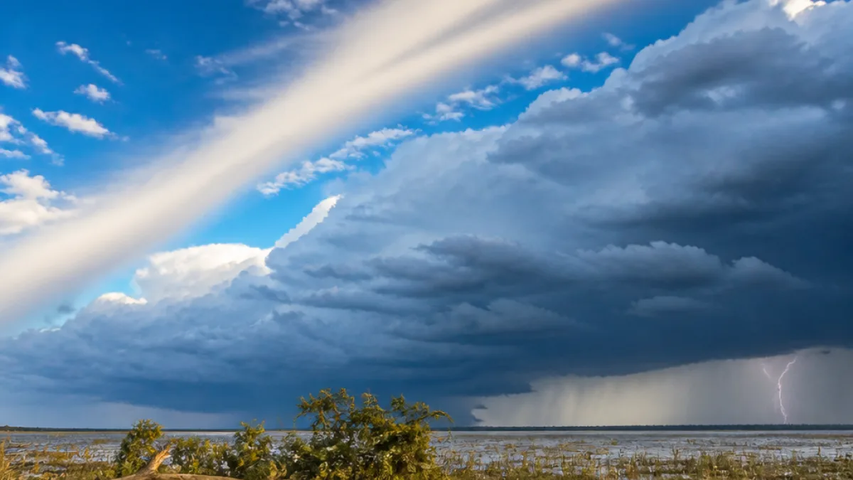
The Pacific Ocean is sending a message that South Louisiana might need to dust off heavy coats — or at least keep umbrellas and weather alerts within arm's reach. A strengthening El Niño pattern offshore is increasingly tied to long-range forecasts that call for a cold, wet winter in the Gulf South, with extra moisture, a higher chance of strong storms and the remote possibility of freezing precipitation.
What El Niño does to our jet stream and moisture
El Niño refers to warmer-than-average sea surface temperatures in parts of the tropical Pacific. That oceanic warmth does more than raise the mercury at the water's surface; it reshapes atmospheric circulation and the path of the upper-level jet streams. Forecasters say a strong El Niño can shift those jet streams, in some cases pulling the subtropical jet farther south and funneling Gulf moisture into Louisiana.
When the subtropical jet is positioned over the Gulf South, there are two important consequences: more available moisture for precipitation, and a greater chance that rain will fall while temperatures are near or below freezing. In practical terms, that means the state could see heavier rain events and, under the right cold snap, sleet or freezing rain in places that seldom see it.
Storm track and timing
Historical patterns during El Niño years also show the storm track passing closer to Louisiana than during La Niña years. That closeness can translate into earlier or more frequent outbreaks of strong storms, sometimes even before the conventional transitions between seasons. Forecasters note that our most prolific months for severe weather in the state are August and September, followed by March, suggesting the window for disruptive storms could widen.
| Typical months with high severe-storm activity in Louisiana |
|---|
| August, September — followed by March |
Forecasting remains uncertain
Local forecasters caution that winter weather in the Gulf South has always been a dicey enterprise. One veteran observer noted that in more than three decades of watching South Louisiana forecasts closely, meteorologists accurately predicted only about two of the last 10 snowstorms that were expected to affect the state — a reminder that models and long-range outlooks can be wrong, sometimes by a wide margin.
Still, the clustering of long-range model guidance toward a wetter, cooler winter under a strengthening El Niño has put emergency managers and municipal planners back on alert earlier than usual. Increased cloud cover expected with a wetter pattern would also moderate daytime temperatures, further nudging conditions toward cool rather than unusually warm for much of the season.
What this could mean for residents
Louisiana residents should be prepared for the following possibilities should the forecast trends hold:
- Increased rainfall leading to localized flooding in low-lying areas.
- More frequent severe storms, including damaging winds and heavy downpours in late summer, early fall and again in spring months.
- Occasional freezing precipitation when arctic shots of cold air coincide with Gulf moisture — rare but disruptive when it occurs.
Because the state is low-lying and crisscrossed by rivers and bayous, even non-freezing heavy rain can create hazardous travel, overwhelmed drainage systems and power outages. The possibility of freezing precipitation, while not guaranteed, would present an additional hazard for bridges, overpasses and untreated roadways.
Practical steps
Forecasters and local officials urge residents to stay informed through official channels, including the National Weather Service and parish emergency management offices. Simple actions can reduce risk: ensure phone alerts are enabled, have sand or non-clumping cat litter on hand for makeshift traction, and check that generators and emergency kits are in working order.
As always, Louisiana's weather keeps its own counsel. The growing consensus around a stronger El Niño means forecasters will be watching the Gulf and upper air patterns closely. Whether this winter turns memorable for snow, freezing rain or simply frequent storms, the signals now coming from the Pacific have already put the region on notice.
Local authorities and meteorologists will continue to refine their outlooks as the season approaches; residents should keep tuned to updates and be ready to act when warnings are issued.