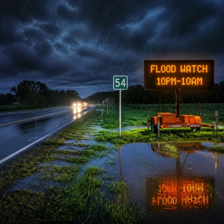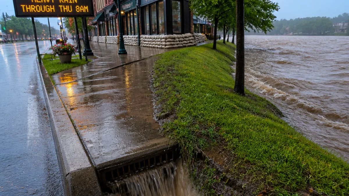
MANCHESTER, N.H. — If you’ve got plans that take you outdoors over the next 24 hours, you may want to have a Plan B. A flood watch is in place through 8 a.m. Thursday for several New Hampshire counties as waves of heavy rain — and the embedded thunderstorms that can accompany them — roll across the state.
Where the risk is highest
The watch covers a broad swath of central and southern New Hampshire: Grafton, Carroll, Sullivan, Merrimack, Belknap, Cheshire, Rockingham and Hillsborough counties. Forecasters say the greatest potential for flash flooding lies in the southern half of the state.
| County group | Watch status | Primary risk |
|---|---|---|
| Grafton, Carroll, Sullivan | Flood watch until 8 a.m. Thursday | Localized flash flooding |
| Merrimack, Belknap, Cheshire | Flood watch until 8 a.m. Thursday | Heavy rainfall, river rises |
| Rockingham, Hillsborough | Flood watch until 8 a.m. Thursday | Greatest flash flood threat |
How much rain and when
Forecasters expect several rounds of heavy rain through early Thursday. Some locations could receive 2 to 3 inches of rain by the time the system departs. That kind of downpour — especially if it falls in a short time span or on ground already saturated from previous storms — can overwhelm drainage systems and produce sudden, dangerous flooding.
Timing is clustered overnight into the first half of Thursday, with the flood threat easing by Thursday afternoon and further lowering Thursday night. Scattered showers and a few thunderstorms may linger on Thursday, then conditions should quiet down for the end of the week with warmer, drier stretches. There is a chance of spot afternoon or evening thundershowers Friday and Saturday, but many hours should be dry.
What you should do
- Be prepared to alter travel plans if heavy rain is in your area; roads — especially low-lying and poorly drained stretches — can become hazardous quickly.
- Never drive into flooded roadways. Turn around, don’t drown.
- Keep an eye on local streams and rivers if you live near them; water levels can rise rapidly during intense rain.
- Monitor forecasts and alerts through trusted sources and apps (see below) for real-time updates.
"Be weather aware!"
That’s the succinct advice from the team tracking the storm. If you want neighborhood-specific alerts, the station recommends downloading their app and enabling push notifications for your geolocation or up to three ZIP codes.
Where to get updates
The news outlet covering this watch offers several ways to follow developments: its mobile app (with push alerts), and the Very Local app for smart TVs. The on-air Storm Watch 9 meteorologists are also sharing updates on social media — names listed by the service include Mike Haddad, Kevin Skarupa, Hayley LaPoint and Jacqueline Thomas — so you can follow their feeds for radar snapshots and timing breakdowns.
For most people in the affected counties, the sensible move is to treat tonight and early Thursday with caution: postpone nonessential trips, give yourself extra time if you must travel, and make sure that any outdoor furniture, grills or other items that could wash away are secured. If you are in a flood-prone area, have a plan to get to higher ground quickly.
Mother Nature has a way of turning a routine commute into a water hazard — and she doesn’t always announce it politely. Keep a battery-powered light or your phone charged, listen for local advisories, and if water starts rising around your vehicle or home, don’t wait.
We’ll keep an eye on this one and pass along updates as the situation evolves. For instant alerts, enable the recommended app settings from your local weather provider and follow the Storm Watch 9 team on social media.