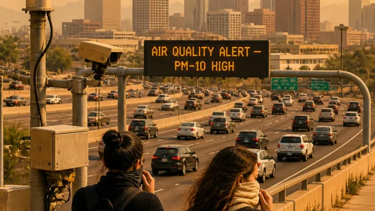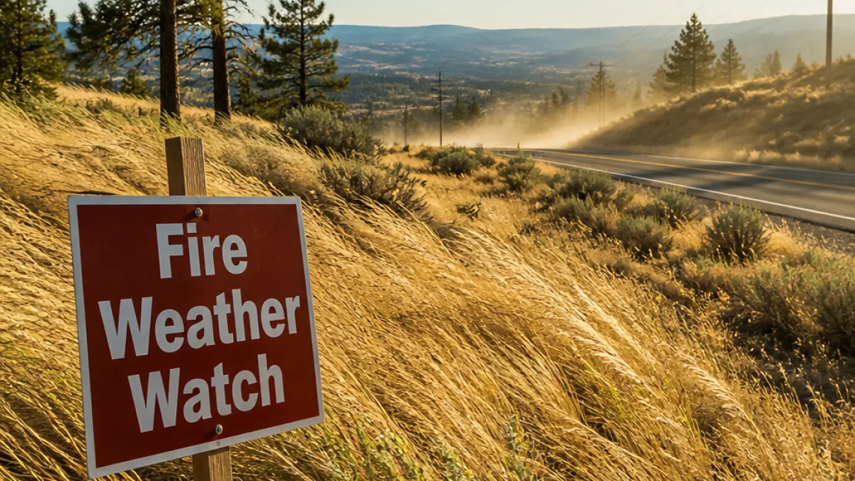
An updated fire weather watch issued Thursday night by the National Weather Service in Spokane covers a large portion of Eastern Washington for Saturday from 11 a.m. to 11 p.m., raising the risk of rapid fire growth where lightning or human-caused ignitions occur.
What the watch covers
The watch spans a complex set of landscapes where wind, dryness and fuel conditions can quickly turn a small spark into a major wildfire. Zones named by the NWS include the Central and North Cascades eastern slopes, the Okanogan Highlands and Kettle Mountains, the Selkirk Mountains, the Waterville Plateau, the Columbia Basin and Palouse, the Methow and Okanogan valleys, the Colville Reservation and parts of the Lewiston-Clarkston area.
Forecast details from the NWS highlight:
- Winds: West to southwest at 15 to 30 mph, with gusts of 30 to 50 mph. Highest gusts are expected over the Waterville Plateau, Columbia Basin, West Plains, Blue Mountains and the Lewiston‑Clarkston Valley.
- Humidity: Afternoon relative humidities generally between 15% and 25%, rising to 30%–45% only near the Cascade crest.
- Timing: The watch is in effect from 11 a.m. through 11 p.m. Saturday.
"Strong winds, warm temperatures, and low humidity may result in extreme fire behavior and rapid fire growth," says the NWS.
Why that combination matters
From a systems perspective, wildfire behavior depends on three primary factors: fuel, weather and topography. On Saturday, the weather component—particularly sustained winds and low humidity—will be the main driver.
Strong, gusty winds increase the rate of spread and can loft burning embers long distances, starting new spot fires ahead of a flame front. Low relative humidity dries fine fuels such as grass, brush and dead needles, making them more flammable. Together, these conditions produce what forecasters call "extreme fire behavior," which complicates suppression and evacuations.
Who should be most alert
Residents living in wildland-urban interface zones—communities adjacent to forests, brush or grasslands—are at greatest risk. Rural residents, campers, recreationists and anyone engaged in outdoor activities that could create sparks should take extra precautions. Agricultural operators and people performing debris burns should postpone those activities until conditions improve.
Practical steps and resources
Local officials recommend preparedness measures rather than alarm. Key actions include:
- Ensure local evacuation plans are known and supplies are ready (medications, documents, water, first aid kit).
- Clear flammable material away from structures (firewood, leaves, dry brush) to create defensible space.
- Avoid using equipment that can produce sparks—chainsaws, mowers, welders—during watch hours.
- Do not conduct recreational fires, campfires, or debris burning while the watch is in effect.
- Monitor local emergency alerts and the NWS Spokane forecast for updates and possible red-flag warnings.
Fire managers often emphasize that a fire weather watch means critical conditions are possible; it is a heads-up to be ready for a stronger advisory called a red flag warning, which indicates critical conditions are expected or occurring.
At-a-glance forecast table
| Element | Expected Saturday |
|---|---|
| Timing | 11 a.m. – 11 p.m. |
| Winds | W/SW 15–30 mph, gusts 30–50 mph |
| Relative humidity | 15%–25% (higher near Cascade crest) |
| Main impact | Potential for extreme fire behavior and rapid fire growth |
Local context and what to watch next
Eastern Washington has seen a mix of dry periods and localized moisture this summer. When strong wind events align with dry fuels, fire starts can spread quickly across multiple jurisdictions, taxing local resources. Fire agencies coordinate regionally, but rapid-onset fires can force evacuations and road closures with little notice.
Residents should keep tuned to the NWS Spokane website, local county emergency alerts and social media feeds from county fire districts for area-specific instructions or evacuation notices. If conditions deteriorate, forecasts can be upgraded to red flag warnings, which typically prompt stricter activity restrictions and heightened response from firefighting teams.
Preparedness and caution remain the best tools to reduce human-caused ignitions and to keep communities safe when volatile weather arrives.
— Washington correspondent